Tuesday, January 7, 2014: Still sitting on the BLM land at
Joshua Tree National Park. We’ve had two real windy days, where we put the
driver side slides in and Curt even put some of the solar panels flat. Now
today it’s cloudy, so we’re not getting much for solar power, but it works good
when it’s sunny. We went into the Park last Friday. They say it takes 2 hours
to get from one entrance to the other (south/north) without any stops. That’s probably
because most of the speed limits are 35-40 mph and there are lots of twisty
roads (instead of driving a straight road through the desert). We did some stops along the way and even took
a 4-wheel drive road again.
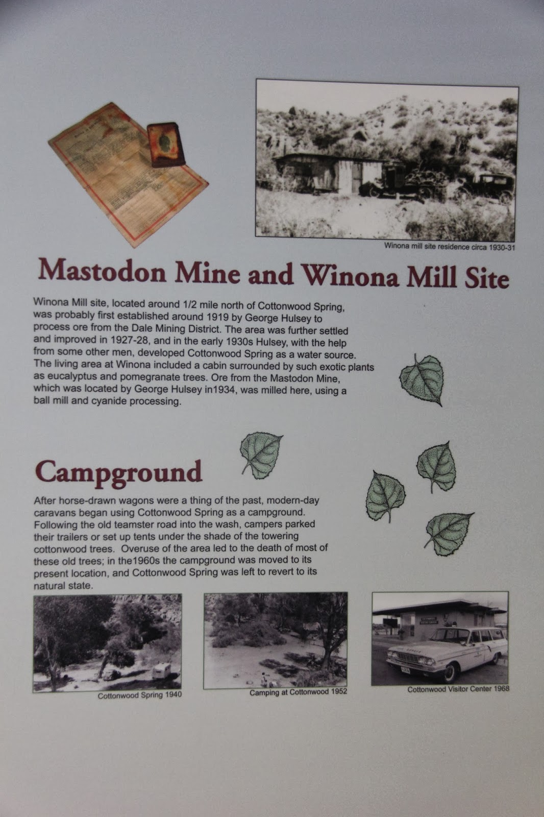
The Cottonwood Springs Visitor Center is 7 miles from the south entrance, elevation 3079 ft.

lots of abandoned mines in the area
The southern part of the park is mostly flat desert valley
 |
| Ocotillo tree |
 |
| Ocotillo leaves |
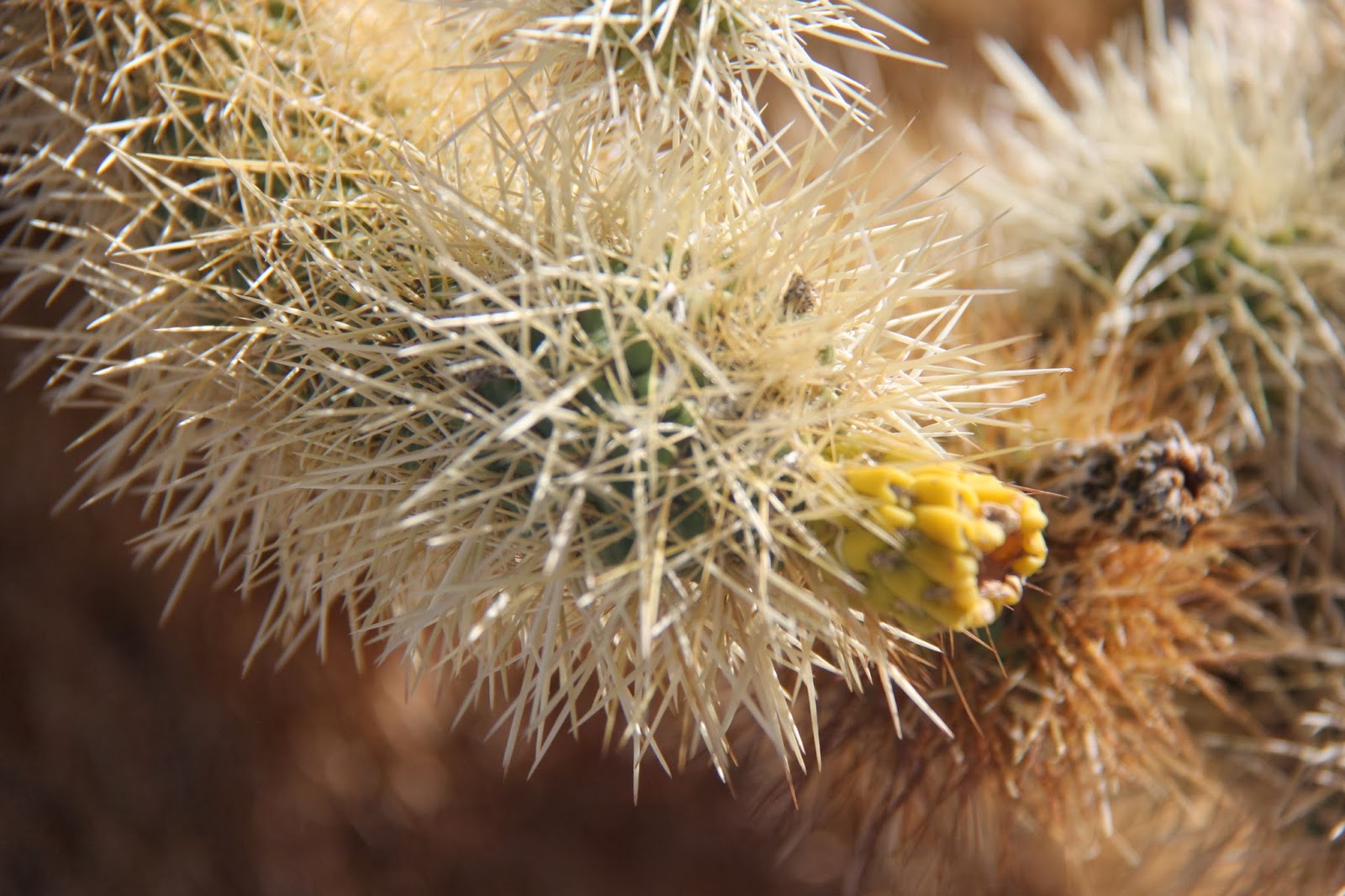
All of a sudden there's Cholla cactus on both sides of the road
Part of the area is fenced with a trail for people to walk through the Cholla garden
One of the many mines in the park
We are driving from the Colorado Desert into the Mojave Desert. Now the landscape and plants change
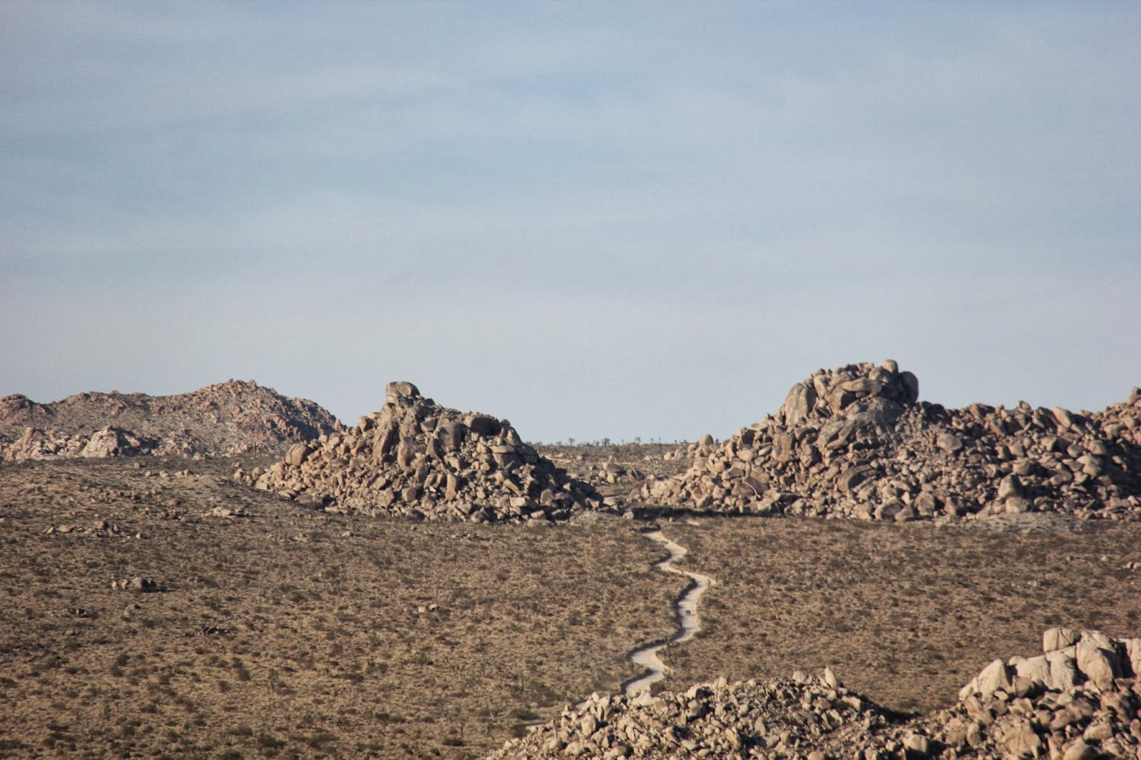
strange rock piles
The Joshua trees for which the park is named
 |
| Skull Rock |
and we're climbing in altitude
Rock climbing is a popular activity here
San Andreas Fault Zone (earthquakes)
This is the view at Keye's View at an elevation of 5185 ft, south outside of the park area
Hazy, but you can see over 20 miles
A gold prospector's grave, who died in 1925
Lots of Joshua trees and rocks
More rock climbers
These climbers are "walking" from rock to rock!
The Geology Tour Road (4-wheel drive)
Our sunset


No comments:
Post a Comment
Comments are moderated, and will not appear until the author has approved them.